
WHA’s Map App
An ArcGIS Version of WHA’s Traditional Development Map with intuitive features and more layers.
Initially released in 2020 to WHA members as an alpha test, this new and improved 2024 version is a public beta.
You may see changes to the format and use until the full rollout later this fall.
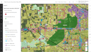
Click image to access public Beta
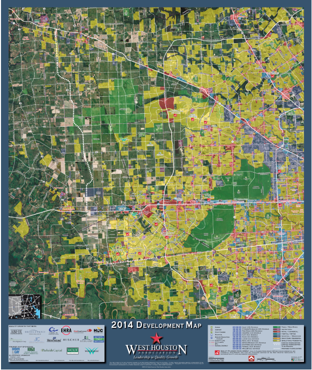
2024 WHA Development Map
A printable PDF version of WHA’s Development Map.
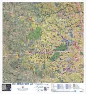
Click for Enlarged View
Mapping the 1,000 square mile greater West Houston region (Historical Maps)
2020 WHA DEVELOPMENT MAP
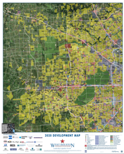
Click for Enlarged View
2017 WHA DEVELOPMENT MAP
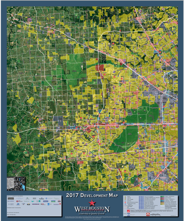
Click for Enlarged View
2013 WEST HOUSTON DEVELOPMENT MAP
Click for Enlarged View