
Meeting the water needs of a growing region will require both new supplies and more efficient use of the water already available. At its USA headquarters in Brookshire, Texas, Grundfos offers a practical example. The facility meets approximately 87% of […]
Two Roads, One Corridor: Planning the Future of US 290 & Hempstead Highway
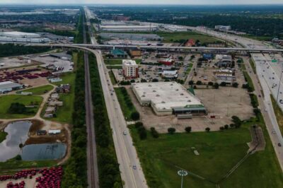
Few transportation corridors better reflect the growth and changing needs of Greater West Houston than US 290 and Hempstead Highway. Together, they connect the urban core to northwest Harris County, Waller County, and communities continuing to develop beyond the Grand […]
President’s Desk: September 2026
Howdy WHA Members! September started with our attention on the Gulf as Tropical Storm Edouard approached the Texas coast. Its landfall near the Texas-Louisiana border spared Greater Houston a direct hit but not before a number of events were cancelled […]
How MAAPNext Is Shaping Regional Flood Planning

Flood risk does not stop at a county line. Neither should the planning, modeling and infrastructure investments used to manage it. That is the message that guided our August 20 forum, Understanding the Impacts of MAAPNext. The discussion brought together […]
A West Houston Trail System: Connecting Growth, Nature, and Communities
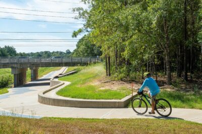
Across the Greater West Houston region, growth continues to move steadily westward. New neighborhoods, schools, and commercial centers are emerging across western Harris County and into Waller and Fort Bend Counties. As this growth unfolds, the region has an opportunity […]
Use of Native Plants for Sustainable and Resilient Urban Growth
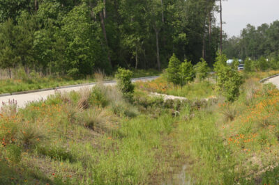
In the rapidly urbanizing Houston landscape, the conventional approach to growth often comes at a high cost to natural infrastructure. As concrete replaces our coastal prairies and piney woods, natural drainage patterns are altered, increasing stormwater runoff and pollutant loads […]
President’s Desk: August 2026
Howdy WHA Members! Across Greater Houston, new flood-risk information is beginning to reshape conversations about development, infrastructure, insurance, and long-term resilience. The still in progress and under review MAPPNext data and related maps represent the county’s first comprehensive update since […]
Grand Parkway Segment C Moves Closer to Reality in Fort Bend County
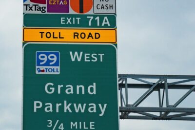
For decades, the Grand Parkway has represented the Houston region’s commitment to planning transportation infrastructure ahead of growth. Recent action by Fort Bend County could help advance one of the most important remaining pieces of that vision: Segment C, connecting […]
Beyond the Maps: How Updated Flood Data Is Shaping Growth and Resilience

The landscape of flood risk management across the Greater Houston region is evolving rapidly. Updated modeling through the Harris County Flood Control District’s Modeling, Assessment and Awareness Project, commonly known as MAAPNext, along with anticipated revisions to Federal Emergency Management Agency flood maps, is […]
Purple Pipe Payoff: How Water Reuse Delivers Long-Term Value
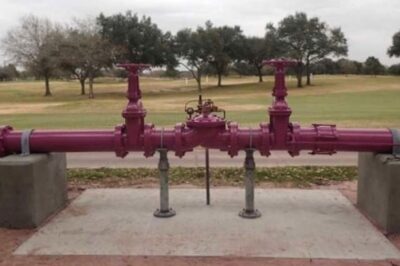
Corpus Christi practically running out of water has highlighted just how scare a resource drinking water can be and how we should look to conserve it wherever we can. Key issues with this include water conservation and water reuse. There […]