
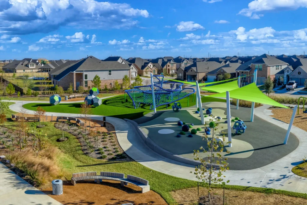
 Parks can be easy to appreciate but sometimes difficult to measure. They come in a wide array of sizes, from a neighborhood or pocket park to huge regional parks that contain miles and miles of programming, trails, and amenities. A community may have substantial green space on a map but still lack a nearby playground, a shaded walking loop, an athletic field available on a Saturday morning, or a trail that safely connects neighborhoods to schools and other destinations. The more essential question is therefore not simply whether a region has parks, but whether the region’s parks, trails, and open spaces are keeping pace with the people and communities they are intended to serve. Moreso: are our parks able to serve their communities in the ways that we need them to? The main challenge, of course, is that our needs and wants relative to parks are constantly changing.
That essential question is becoming more important across northwest Harris County, Fort Bend County, and Waller County. Residential and employment growth continues to move west and northwest along US 290, FM 529, and the Grand Parkway. New subdivisions such as Elyson, Amira, and Bridgeland are creating private amenities for their residents, while cities, counties, municipal utility districts, conservancies, and nonprofit organizations each manage pieces of the broader parks and trails network. The result can be considerable investment without a complete picture of access, connectivity, future demand, programming, or which communities remain underserved.
Planning Around the Region
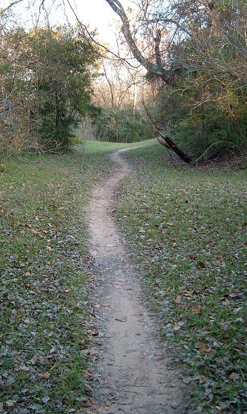 Several nearby jurisdictions have recently taken a more systematic look at these issues. Harris County Precinct 3 adopted a Parks and Trails Master Plan in 2023 for a 555-square-mile precinct with approximately 1.2 million residents. The $758M plan anticipates substantial population growth and recommends maximizing existing park space, expanding programming, emphasizing natural features, connecting parks through trails and greenways, and integrating recreational facilities with stormwater infrastructure. It includes recommendations for existing parks, new parks, and hundreds of miles of potential trail connections.
Harris County Precinct 4 has also developed its Healthy Parks Plan, covering 55 parks, greenspaces, and trails. Its approach is particularly useful because it looks beyond the number of acres in the system. The precinct’s Healthy Parks Index evaluates community health, environmental vulnerability, park access, and historic underinvestment. That framework recognizes that two communities with the same number of park acres may have very different needs depending on shade, facilities, programming, transportation barriers, and the condition of existing amenities.
Fort Bend Green and the Fort Bend County Parks and Recreation Department recently completed a countywide Parks and Trails Vision Plan. The process included public meetings and resident surveys, and the resulting plan is intended to guide park projects for the next 10 to 15 years. It builds on a countywide inventory that identified more than 44,000 acres of public greenspace—including land held by special districts and other entities that had not been fully captured in prior mapping. Fort Bend voters also approved a $153 million parks bond in 2023, creating a significant source of funding for park, trail, and recreation projects.
These efforts differ in scope and governance, but they share an important principle: good park investment begins with understanding what already exists, what residents actually use, where access gaps remain, and how future growth will change demand.
Waller County Has a Foundation to Build On
Waller County has already taken an important first step. In May 2021, Commissioners Court unanimously approved the county’s first Parks, Trails and Open Space Master Plan following a planning process that included public workshops. The plan contemplated trailhead parks along proposed routes, a regional county park of more than 20 acres with features such as sports fields, an amphitheater, equestrian trails, and a loop trail, as well as natural reserves in flood-prone areas with trails and interpretive features.
 More recently, an especially significant opportunity has emerged. In late 2025, Waller County acquired approximately 1,400 acres from the City of Houston that had once been reserved for a proposed Westside Airport. County leaders have identified parks and flood control as intended uses for the property, approximately 600 acres of which are already subject to a conservation easement. Potential public uses discussed for the land have included fishing and horseback riding.
This acquisition could become a major regional asset. It also illustrates why a park plan should be treated as a living implementation tool rather than a document that sits on a shelf. Since the county’s plan was approved in 2021, growth patterns have continued to shift, large developments have advanced, land values have changed, and a substantial new public property has entered the picture. The next useful step may not be an entirely new plan, but a public update that connects the existing vision to current conditions, identifies priority projects, estimates capital and operating costs, gauges current and future program demands from the public, and establishes a realistic sequence for implementation.
What Does “Meeting Community Needs” Mean?
Park planning can easily become a discussion about acres, but acreage alone does not answer whether a system is serving its residents. A needs-based review should consider several related questions.
The first and perhaps most important question has to do with access. How many residents can reach a public park or trail safely and conveniently? What is the walking distance between a given neighborhood and its nearest significant community park? A park several miles away may offer little practical value to a child, older adult, or resident without a car. Major roadways, drainage channels, and disconnected street networks can make a nearby park functionally inaccessible.
Second is the mix and condition of amenities. Recreation preferences change, sometimes faster than facilities do. The rapid growth of pickleball has led many park systems to convert or restripe underused tennis courts, while demand for connected walking and running trails can now exceed interest in stand-alone running tracks. Young families may want playgrounds and splash pads, teenagers may need courts and informal gathering spaces, and older adults may prioritize shaded paths, seating, restrooms, and low-impact recreation. Regular engagement and usage data can help ground agencies and park planners with real-world metrics that will allow them to adapt existing facilities accordingly. Rather than chase down or guess at short-term trends, this type of information can give planners reliable data about what park visitors will actually want/use.
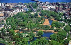 The third significant question is related to quality of connectivity. Parks create greater value when they are part of a network rather than isolated destinations. Trails can connect neighborhoods, schools, employment centers, community facilities, and natural areas. The first significant park system in the US- and the system which created the template for all park design since- is the Emerald Necklace in Boston, designed by Frederick Law Olmsted. Olmsted made connectivity the central feature of the system, creating a chain of parks (hence, a necklace). One of the goals of that project, in addition to the park spaces themselves, that Olmsted was trying to solve was an infrastructural problem, as well: movement of storm and wastewater. This is something that our own park systems would do well to learn from! Drainage and flood-control projects have the ability to support these pedestrian connections, provided recreation is incorporated early in project design and does not interfere with the primary drainage function. This is what is often referred to as green infrastructure.
Fourth is long-term stewardship. New park construction is often easier to celebrate than maintenance, programming, security, and replacement of aging facilities. Any expansion strategy should account for annual operating costs as carefully as it considers land acquisition and construction. But it is well known that funds for public commons is significantly limited. As a result, public-private partnerships, or PPPs, have become an increasingly common organizational setup. Marrying private money with public land can help private entities (corporations, etc) build relationships with the communities in which they operate or serve. Funds from these entities could help foster an inclusive approach to stewardship. At the same time, planning should consider the role of private and nonprofit partners without assuming that private amenities can replace public access. Master-planned communities, MUDs, land trusts, school districts, and civic organizations can contribute land, trails, conservation, and programming. A countywide framework can help connect those investments and identify where public leadership is still needed.
From Plans to a Regional Network
The park systems of northwest Harris County, Fort Bend County, and Waller County do not stop at jurisdictional boundaries, and neither do residents. A family may live in Waller County, work in Harris County, and visit a trail or youth sports facility in another community. Watersheds, wildlife corridors, and the coastal prairie also cross political lines.
That creates an opportunity for greater coordination. Adjacent counties and precincts can compare planned trail corridors, share data on park access, coordinate with flood-control entities, and pursue state, federal, philanthropic, and private funding. Consistent planning can also help preserve corridors before development makes acquisition significantly more difficult or expensive.
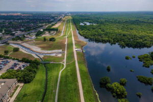 The region already has strong pieces in place: new and recently completed plans, public and private park investments, active conservation organizations, and major opportunities such as the former airport property in Waller County. The central question is whether those pieces are being connected to a clear understanding of community needs. Further, a serious discussion needs to happen around conservation and green infrastructure. Not all green spaces need to be for people. Our coastal condition makes flooding a reality that needs to be addressed sensitively, in a grounded manner. Long gone are the days when we thought we could contain or control flooding. A nature-based approach that incorporates green infrastructure will allow for just that. Further, we must find a way to co-exist with natural spaces (and the animals that inhabit them), not merely use them for our entertainment.
As the Greater West Houston region grows, parks should be viewed as essential community infrastructure. Safe, inviting places to walk, play, exercise, and gather can support physical and mental health. Trails, trees, prairies, wetlands, and thoughtfully designed detention areas can manage stormwater, reduce heat, protect habitat, and improve environmental resilience. High-quality parks can also strengthen neighborhood identity, help attract residents and employers, support nearby businesses, and contribute to long-term property values. These benefits are interconnected: communities that are healthier, more resilient, and more attractive are also better positioned for sustainable economic growth.
Periodically measuring access and demand, updating priorities, and tying plans to funding will help ensure that today’s growth produces communities that remain desirable and functional decades from now.
The time to preserve land, establish connections, and plan for future recreation is while options are still available. Across the region, the most productive next conversation may be simple: what do residents need from their parks now, what will they need in ten years, and are our current plans and investments positioned to deliver it?
